
Area 19.65 km² | ||
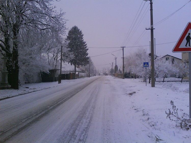 | ||
Keť (Hungarian: Érsekkéty) is a village and municipality in the Levice District in the Nitra Region of Slovakia.
Contents
Map of 935 64 Ke%C5%A5, Slovakia
History
In historical records the village was first mentioned in 1308.
Geography
The village lies at an altitude of 150 metres and covers an area of 19.65 km². It has a population of about 680 people.
Ethnicity
The village is approximately 94% Magyar and 6% Slovak.
Government
The village has its own birth registry.
Facilities
The village has a public library a gym and soccer pitch.
References
Keť Wikipedia(Text) CC BY-SA