
Administrative center selo of Madzhalis Rural localities 45 Founded 1929 | Federal subject Republic of Dagestan Selsoviets 12 Area 678.2 km² | |
 | ||
Municipally incorporated as | ||
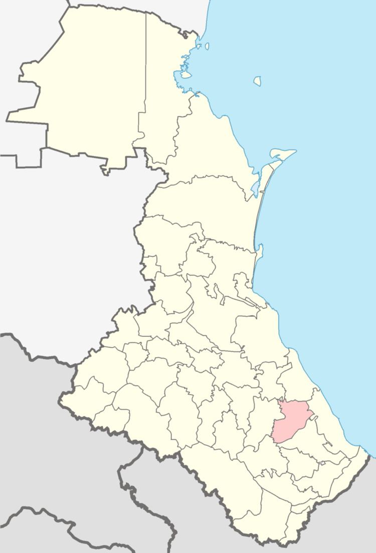
Kaytagsky District (Russian: Кайта́гский райо́н; Dargwa: Хайдакъла райун) is an administrative and municipal district (raion), one of the forty-one in the Republic of Dagestan, Russia. It is located in the southeast of the republic. The area of the district is 678.24 square kilometers (261.87 sq mi). Its administrative center is the rural locality (a selo) of Madzhalis. As of the 2010 Census, the total population of the district was 31,368, with the population of Madzhalis accounting for 21.7% of that number.
Contents
- Map of Kaytagsky District Dagestan Republic Russia
- Administrative and municipal status
- Former state
- References
Map of Kaytagsky District, Dagestan Republic, Russia
Administrative and municipal status
Within the framework of administrative divisions, Kaytagsky District is one of the forty-one in the Republic of Dagestan. The district is divided into twelve selsoviets which comprise forty-five rural localities. As a municipal division, the district is incorporated as Kaytagsky Municipal District. Its twelve selsoviets are incorporated as sixteen rural settlements within the municipal district. The selo of Madzhalis serves as the administrative center of both the administrative and municipal district.
Former state
Around 1800 Kaitag or Karakaitag was a small state. Its chief town was Bashli (probably Bashlikent) and its ruler was called the Utsmi.