
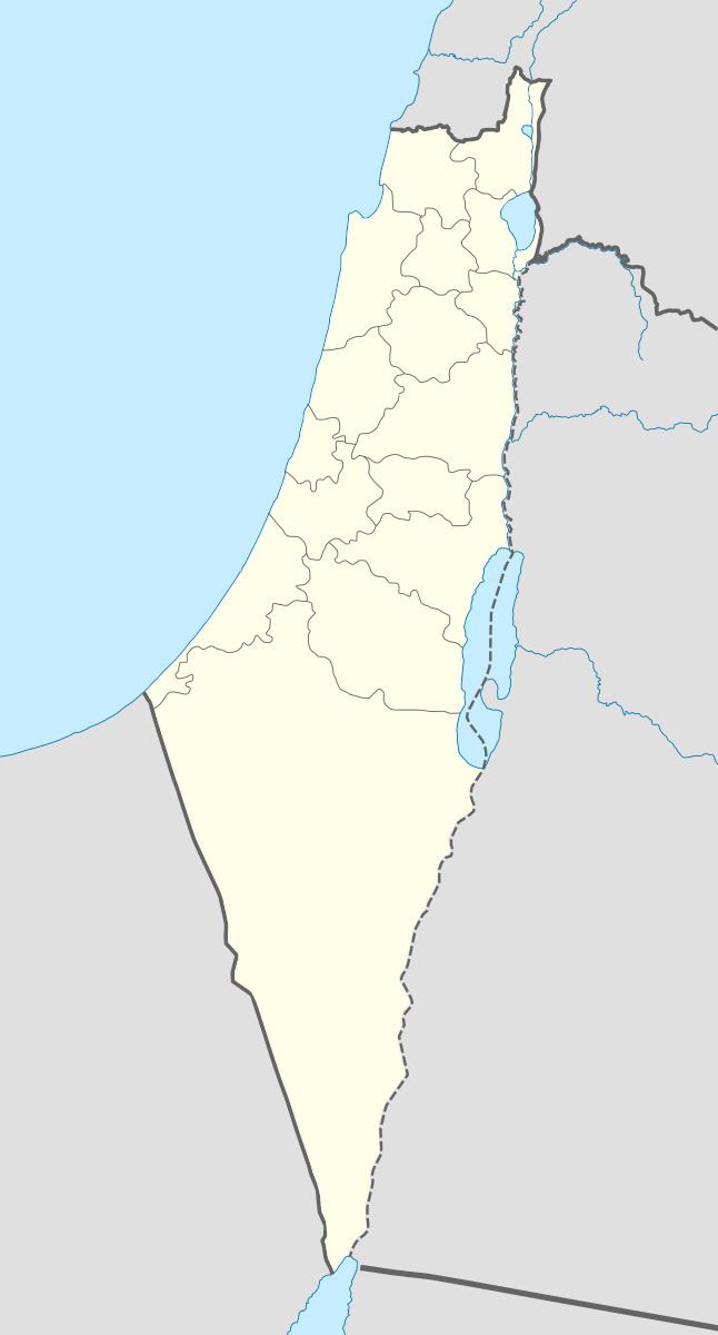
Arabic كوكبا | Also spelled Kaukaba Palestine grid 117/115 Local time Saturday 11:25 AM Date of depopulation 12 May 1948 | |
 | ||
Name meaning Star, or mountain, or donjon Weather 21°C, Wind SW at 26 km/h, 41% Humidity | ||
Synd 17 8 78 lebanese troops pull out of kawkaba village in south lebanon
Kawkaba (Arabic: كوكبا), known to the Crusaders as Coquebel, was a Palestinian Arab village that was captured by Israel during Operation Yoav during the 1948 Arab-Israeli War, and depopulated.
Contents
- Synd 17 8 78 lebanese troops pull out of kawkaba village in south lebanon
- My village kawkaba
- Location
- History
- Ottoman era
- British Mandate era
- 1948 and after
- References
My village kawkaba
Location
The village was situated on an uneven stretch of red-brown soil on the southern coastal plain. It lay on the highway constructed by the British during World War II, which paralleled the coastal highway.
History
The site was known during the Crusades as Coquebel. Kawkaba contained an archaeological site with a pool, cisterns, the foundations of buildings, columns, severed capitals. North of it was Khirbat Kamas, which was identified as the Crusader Camsa and which yielded some archaeological artifacts.
Ottoman era
Kawkaba was incorporated into the Ottoman Empire in 1517 with the rest of Palestine, and by 1596 it was known as Kawkab, and had a population of 88. It paid taxes on a number of crops, including wheat, barley, sesame, fruit trees and vineyards.
In 1863 Victor Guérin found that the village has a population of five hundred inhabitants. In the interior of a oualy dedicated to Sheikh Mohammed he observed mutilated fluted white marble column, next to a Corinthian capital. At the well, he noted two barrels, also ancient columns, one with white marble, the second gray granite, which were, he thought, exhumed in that area and did not come from elsewhere.
An Ottoman village list of about 1870 showed Kokabe with a population of 72, in 20 houses, though the population count included men only.
In 1882, the Palestine Exploration Fund's Survey of Western Palestine described it as a small adobe village, with a well to the west and a pool to the north. The village had a rectangular layout along the above-mentioned road, and expanded north-south alongside it.
British Mandate era
In the 1922 census of Palestine, conducted by the British Mandate authorities, Kukaba had a population of 439, all Muslims, increasing in the 1931 census to 522, still all Muslims, in 121 houses.
Kawkaba shared an elementary school with the villages of Bayt Tima and Hulayqat. Its houses were made of adobe and cement, and its shops were located at the village center, on the western side of the road. On its eastern site were two water sources: a spring and a 70-meter deep well. The villagers engaged in rainfed agriculture, cultivating grain and winter and summer vegetables. Towards the end of the British Mandate period they also cultivated fruits, such as figs and grapes, on all their land expect to the west.
In 1945 the population of Kaukaba was 680 Muslims, while the total land area was 8,542 dunams, according to an official land and population survey. Of this, a total of 166 dunams were used for plantations and irrigable land, 8,166 for cereals, while 40 dunams were built-up areas.
1948 and after
The village that was captured by Israel during Operation Yoav during the 1948 Arab-Israeli War. The fall of the village was preceded by the events at nearby Burayr; where the Haganah Oded Brigade apparently executed a large number of military age Palestinians. The Kawkaba villages had offered to surrender to the Yishuv's forces but the Haganah drove out the last of the inhabitants on the 27/28 May 1948. The village was on the front line between the Israeli and Egyptian armies through the summer of 1948 and appears to have changed hands several times.
In 1950 the Israeli settlement of Kokhav Michael was founded on village land, southeast of the village site.
According to Khalidi, by 1992 the remaining structures on the village land were:
"The site is overgrown with sycamore and Christ´s -thorn trees. The old road, as well as crumbled walls and debris in a wooded part of the site are clearly visible. The land in the vicinity is cultivated by Israeli farmers."