
Division Lubaga Division Elevation 1,220 m | Time zone EAT (UTC+3) Local time Saturday 10:50 AM | |
 | ||
Weather 25°C, Wind S at 13 km/h, 77% Humidity | ||
Medical staff at kawaala health centre strike
Kawaala is a neighborhood within Kampala, Uganda's capital and largest city.
Contents
- Medical staff at kawaala health centre strike
- Map of Kawaala Kampala Uganda
- Abasawo bediimye e kawaala
- Location
- Overview
- References
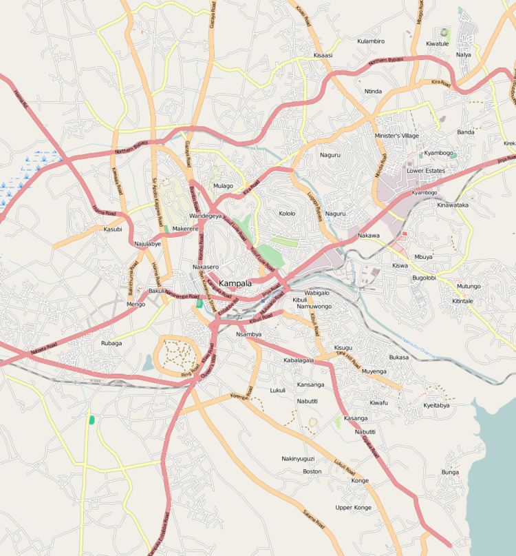
Map of Kawaala, Kampala, Uganda
Abasawo bediimye e kawaala
Location
Kawaala is bordered by Nabweru to the north, Kazo to the northeast, Makerere to the east, Naakulabye to the south, Kasubi to the southwest, and Namungoona to the west. This is approximately 5 kilometres (3.1 mi), by road, north of Kampala's central business district. The coordinates of Kawaala are 0°20'24.0"N, 32°33'00.0"E (Latitude:0.3400; Longitude:32.5500).
Overview
Kawaala is predominantly a low-income residential neighborhood, with an occasional middle-class residence among the low income shacks. The Kampala Northern Bypass Highway passes through Kawaala. Some of the points of interest in the neighborhood include the following:
References
Kawaala Wikipedia(Text) CC BY-SA