
Country India District Wayanad PIN 6XXXXX Population 9,984 (2001) | State Kerala Time zone IST (UTC+5:30) Vehicle registration KL- | |
 | ||
Kavumannam is a village near Padinharethara in Wayanad district in the state of Kerala, India.
Contents
Map of Kavumannam, Kerala 673122
History
Tipu Sultan of Mysore built a road in Wayanad by the name Kuthirappandy Road. The British converted this carriage track into a motorable road. The old village of Thariyode is situated on the side of this ancient road and its old name was Edathara. Thariyode panchayath was formed in 1962 by dividing Vythiri panchayath. In 1925, the village got its first school and it was called Kallattummal School.
Demographics
As of 2001 India census, Kavumannam had a population of 9984 with 5008 males and 4976 females.
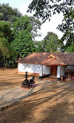
Important Landmarks
References
Kavumannam Wikipedia(Text) CC BY-SA