
 | ||
Kavlak Peak (Bulgarian: връх Траве, ‘Vrah Trave’ \'vr&h 'tra-ve) is the peak rising to 1200 m in the southeast foothills of Detroit Plateau on Nordenskjöld Coast in Graham Land, Antarctica. It isituated in the west part of a narrow rocky ridge projecting 5 km eastwards into the upper course of Dinsmoor Glacier.
Contents
Map of Kavlak Peak, Antarctica
The peak is named after the settlement of Kavlak in Northern Bulgaria.
Location
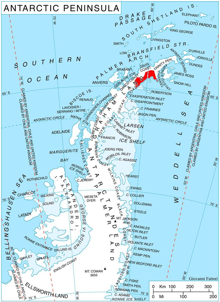
Kavlak Peak is located at 64°23′26″S 60°12′32″W, which is 7.17 km west-southwest of Darzalas Peak, 6.92 km northwest of Mount Elliott, 4.88 km north-northeast of Gusla Peak, and 25.41 km east of Baldwin Peak on Danco Coast. British mapping in 1978.
Map
References
Kavlak Peak Wikipedia(Text) CC BY-SA