
3-digit postal code prefix 882 Local time Saturday 7:22 AM | Time zone WAT (UTC+1) Area 868 km² | |
 | ||
Weather 19°C, Wind E at 11 km/h, 13% Humidity | ||
Catchin fun in underground corpers lodge kaura namoda zamfara state mp4
Kaura Namoda is a Local Government Area in Zamfara State, Nigeria. Its headquarters are in the town of Kaura-Namoda, home to the Federal Polytechnic, Kaura-Namoda. It has an area of 868 km² and a population of 281,367 at the 2006 census.
Contents
- Catchin fun in underground corpers lodge kaura namoda zamfara state mp4
- Map of Kaura Namoda Nigeria
- Postal code
- Transport
- References
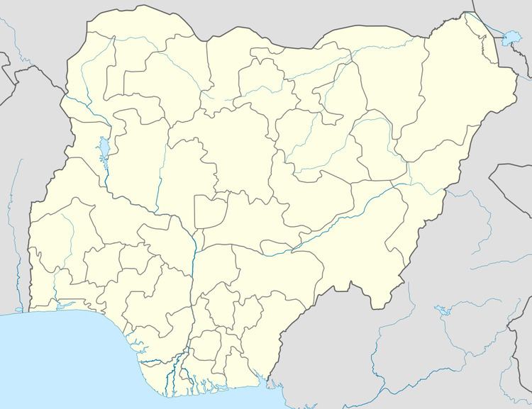
Map of Kaura Namoda, Nigeria
Postal code
The postal code of the area is 882.
Transport
It is served by a station at the terminus of a branch line of the western line of the national railway network. In 2014, this line is proposed to be rehabilitated and extended to Niamey in Niger.
References
Kaura Namoda Wikipedia(Text) CC BY-SA