
Population 1,137 (2011 census) Katunga Muckatah Local time Saturday 4:09 PM | Postcode(s) 3640 Postal code 3640 Federal division Division of Murray | |
 | ||
Weather 34°C, Wind NW at 14 km/h, 14% Humidity | ||
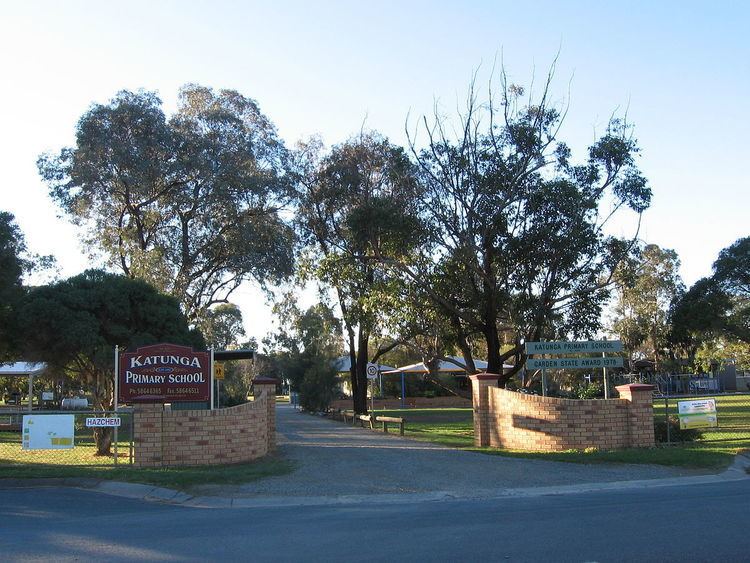
Katunga is a town in the Goulburn Valley region of northern Victoria, Australia. The town is located in the Shire of Moira local government area, 228 kilometres from the state capital, Melbourne. At the 2011 census, Katunga had a population of 1,137.
Map of Katunga VIC 3640, Australia
Katunga Post Office opened on 10 June 1881.
The local railway station was opened on the Goulburn Valley railway in 1888, but today does not see regular passenger services. Katunga, similar to much of the surrounding area, is based on agriculture, including dairy production especially from local dairy farmers George and Sharyn Kantarias.
The Katunga Football Club competing in the Picola & District Football League is based in the town.
References
Katunga Wikipedia(Text) CC BY-SA