
Time zone SLST (UTC+05:30) Local time Saturday 10:38 AM Number of airports 1 | Population 61,228 (2012) | |
 | ||
Weather 31°C, Wind S at 14 km/h, 66% Humidity Neighborhoods Peellawatta, Kowinna, Muthuwadiya - East | ||
Katunayake (කටුනායක in Sinhala, கட்டுநாயக்க in Tamil), is a suburb of Negombo city in Western Province, Sri Lanka. It is the site of Bandaranaike International Airport or Colombo Airport, the primary international air gateway to Sri Lanka. With the change of government in 1977 and the introduction of the open economy policy a large area was allocated to create a free trade zone (currently known as the Export Promotion Zone). This created a large amount of job opportunities for the local youth and has contributed substantially towards the country's economy.
Contents
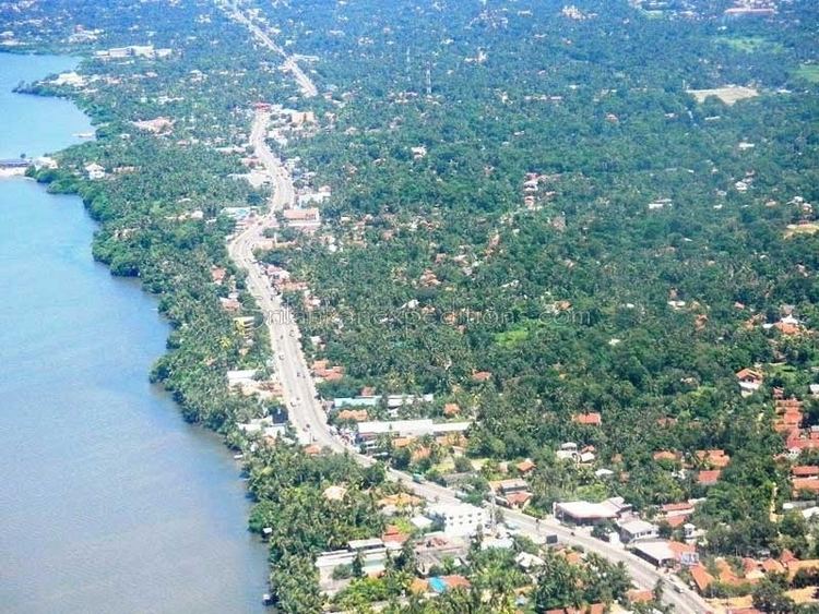
Map of Katunayake, Sri Lanka
SriLankan Airlines is headquartered on the grounds of the airport in Katunayake.
Economy
In the late 1970s, the introduction of open-economy policy led to the creation of a Free-Trade zone, currently known as the Export Promotion Zone. This created a large amount of job opportunities for the local youth and has contributed substantially towards the country's economy.
Transport
Katunayake is the site of the primary airport in the country, Bandaranaike International Airport.
It is served by Sri Lanka Railways' Puttalam Line, with stations at Katunayake, Katunayake South, and the airport.
Negombo is the northern end of the Colombo-Katunayake Expressway which connects the city of Colombo and A1 highway at Peliyagoda. Katunayake is currently served by the A3 highway from Colombo to Negombo.