
Town status 1976 Time zone MSK (UTC+4) Area 70 ha | Elevation 68 m (223 ft) Postal code 98688 Population 529 (2014) | |
 | ||
Weather 8°C, Wind NE at 13 km/h, 78% Humidity | ||
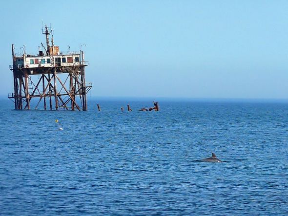
Katsiveli (Ukrainian: Кацівелі; Russian: Кацивели; Crimean Tatar: Katsiveli) is an urban-type settlement in the Yalta Municipality of the Autonomous Republic of Crimea, a territory recognized by a majority of countries as part of Ukraine and annexed by Russia as the Republic of Crimea.
Map of Katsiveli
Katsiveli is located on Crimea's southern shore at an elevation of 68 metres (223 ft). The settlement is located 2.5 km (1.6 mi) west from the town of Simeiz, which it is administratively subordinate to. Its population was 658 as of the 2001 Ukrainian census. Current population: 529 (2014 Census).
References
Katsiveli Wikipedia(Text) CC BY-SA