
Nearest town or city Marree Address Marree SA 5733, Australia Phone +61 8 8648 5300 | Footnotes Coordinates Area 13,488 km² Established 1985 | |
 | ||
Managing authorities Website Kati Thanda-Lake Eyre National Park See also Protected areas of South Australia Hours Open today · Open 24 hoursSaturdayOpen 24 hoursSundayOpen 24 hoursMonday(Adelaide Cup Day)Open 24 hoursHours might differTuesdayOpen 24 hoursWednesdayOpen 24 hoursThursdayOpen 24 hoursFridayOpen 24 hours | ||
Kati thanda lake eyre national park top 6 facts
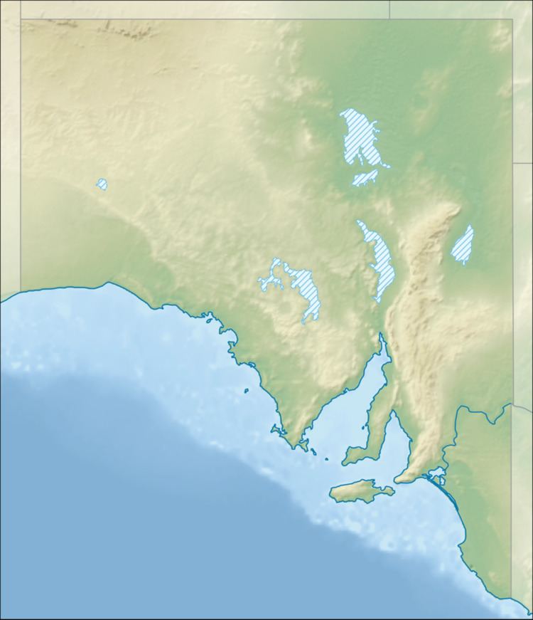
Kati Thanda-Lake Eyre National Park (formerly Lake Eyre National Park) is a protected area in the Australian state of South Australia. It is located 697 km north of the state capital of Adelaide within the gazetted locality of Lake Eyre. It contains both the North and South sections of Lake Eyre as well as sections of the Tirari Desert.
The national park protects dry desert landscapes, the nation's largest salt lake and the lowest point on the mainland. As of 2012, the national park has been subject to a co-management agreement between the Arabana aboriginal people and the Department of Environment, Water and Natural Resources (DEWNR). The national park almost encloses Elliot Price Conservation Park, which covers the Hunt Peninsula and Brooks Island, within and around the northern section of the lake. It was established as South Australia's first arid zone conservation zone. It was named after Elliot Price, from the nearby Muloorina Station. There is no vehicle access to the park.
The national park was renamed as Kati Thanda-Lake Eyre National Park on 14 November 2013.
The national park is classified as an IUCN Category VI protected area.