
Established 1900 Postal code 6355 | Postcode(s) 6355 Elevation 499 m | |
 | ||
Weather 32°C, Wind E at 10 km/h, 43% Humidity | ||
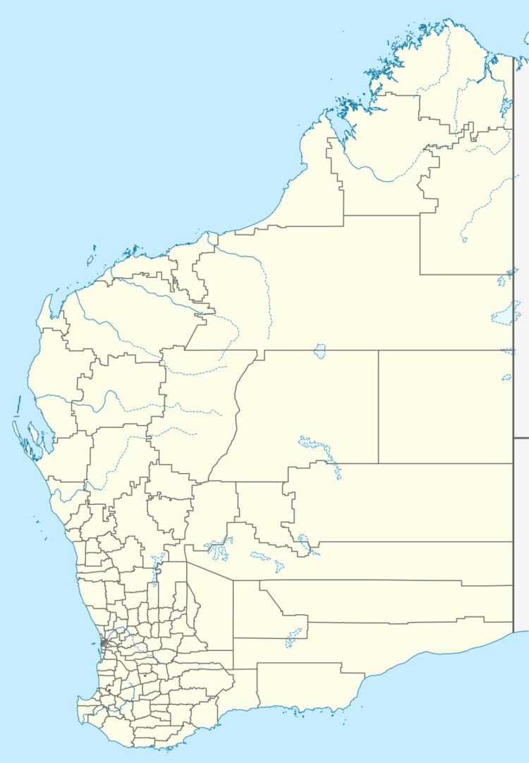
Kathleen is an abandoned town located between Leinster and Wiluna along the Goldfields Highway in the Goldfields-Esperance region of Western Australia.
Gold was discovered in the area in 1897 and was originally referred to as Kathleen Valley by the locals since gold had been found in the valley area near the town. The townsite was eventually gazetted as in 1900, once the valley part of the name was dropped.
A shop and butchers was opened in 1901 and by 1902 the town supported two hotels. One of the main mines in town was the Yellow Aster mine.
References
Kathleen, Western Australia Wikipedia(Text) CC BY-SA