
Established 1976 Mean max temp Mean min temp Founded 1976 Population 1,098 (2002) | Postcode(s) 6437 Elevation 497 m Postal code 6437 Local time Wednesday 2:22 PM | |
 | ||
Weather 27°C, Wind S at 18 km/h, 30% Humidity | ||
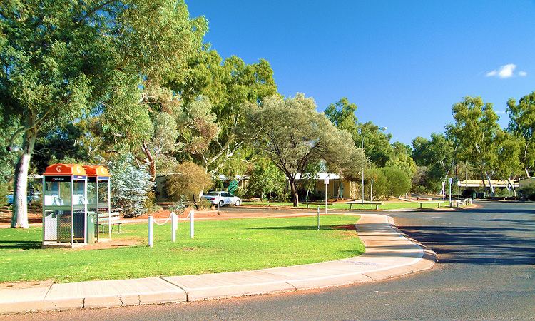
Leinster is a town in the northern goldfields area of Western Australia. It is 4 km east of the Goldfields Highway, in the Shire of Leonora local government area, 968 kilometres (601 mi) northeast of the state capital, Perth. At the 2006 census, Leinster had a population of 732.
Map of Leinster WA 6437, Australia
The town was established in 1976 by Agnew Mining as a dormitory town for workers at its nearby Perseverance and Rockys Reward nickel mines and Agnew gold mines. It was named for the nearby Leinster Downs station. Facilities at Leinster include a supermarket, post office, service station, primary school and tavern. Sporting facilities include an indoor sports centre and 18 hole golf course.
The Leinster Nickel Operation is now part of the BHP Billiton Nickel West business group. The operation employs 992 workers and produces 40,000–45,000 tons of nickel in concentrate per year.
Apart from the nickel operations, gold was also mined 41 km south-east of Leinster, at the Thunderbox Gold Mine, from 2002 to 2007.