
Area 152.1 km² | Time zone BST (UTC+6) | |
 | ||
Website Official Map of the Kathalia Upazila | ||
Kathalia (Bengali: কাঁঠালিয়া ) is an Upazila of Jhalakati District in the Division of Barisal, Bangladesh.
Contents
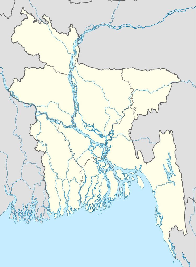
Map of Kathalia Upazila, Bangladesh
Geography
Kathalia is located at 22.4000°N 90.1250°E / 22.4000; 90.1250 . It has 23,904 households and a total area of 152.08 km².
Demographics
According to the 1991 Bangladesh census, Kathalia had a population of 123,298. Males constitutde 50.02% of the population, and females 49.98%. The population aged 18 or over was 63,714. Kathalia has an average literacy rate of 50.9% (7+ years), compared to the national average of 32.4%.
Administration
Kathalia has 6 Unions/Wards, 47 Mauzas/Mahallas, and 52 villages, including Analbania.
The chairman of the upazila is Md Faruk Sikdar.
References
Kathalia Upazila Wikipedia(Text) CC BY-SA