
Country Ukraine Magdeburg rights 1568 Elevation 139 m (456 ft) Local time Saturday 3:37 AM | District Katerynopil Raion Town status 1965 Time zone EET (UTC+2) Province Cherkasy Oblast | |
 | ||
Weather 5°C, Wind NE at 16 km/h, 87% Humidity | ||
Katerynopil (Ukrainian: Катеринопіль) (until 1795 Kalnyboloto, Ukrainian: Калниболото) is an urban-type settlement located in Cherkasy Oblast (province) in central Ukraine. It is the administrative center of the Katerynopil Raion (district), housing the districts local administration. As of 2007, the town's population is 6,092.
Contents
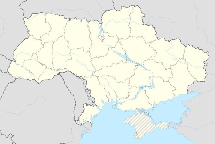
Map of Katerynopil', Cherkasy Oblast, Ukraine
Archaeologists have found remains of the ancient Trypillya culture on the territory of Katerynopil. During the Khmelnytsky Uprising in 1648-1654, Kalnyboloto was a sotnia town of the Korsun Cossack host. On March 5, 1923, Katerynopil was given the status of an administrative center of its surrounding district.
People from Katerynopil
References
Katerynopil Wikipedia(Text) CC BY-SA