
Lowest elevation 100 m (300 ft) Vehicle registration AX | Highest elevation 120 m (390 ft) Time zone EET (UTC+2) Local time Saturday 2:32 AM | |
 | ||
Weather 8°C, Wind NE at 10 km/h, 85% Humidity | ||
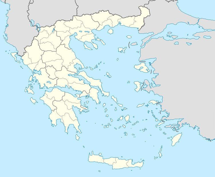
Katarraktis (Greek: Καταρράκτης meaning "waterfall", before 1928: Λόπεσι - Lopesi) is a mountain village in the municipal unit of Farres, Achaea, Greece. It is 5 km east of Chalandritsa and 19 km southeast of Patras. In 2011 Katarrakti had a population of 93. The village is situated near a 110 meters high waterfall, hence the name of the village. Relics from the Mycenean period can be found in the vicinity.
Map of Katarraktis 250 08, Greece
References
Katarraktis Wikipedia(Text) CC BY-SA