
Location North District Highest point Kai Kung Leng雞公嶺 | Highest elevation 122 m (400 ft) Area 235 ha | |
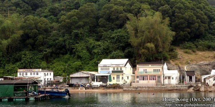 | ||
Crooked island kat o double haven
Kat O (Chinese: 吉澳) is an island in Northeast Hong Kong. Administratively, it is part of North District.
Contents
- Crooked island kat o double haven
- Map of Crooked Island Hong Kong
- Kat o fish raft ocean space habitat demonstration
- Geography
- History
- Historic buildings
- Conservation
- References
Map of Crooked Island, Hong Kong
Kat o fish raft ocean space habitat demonstration
Geography
Kat O is located in the west of Mirs Bay. With an area of 2.35 km², it is the largest island in North District, the second largest being Wong Wan Chau (Double Island). Neighbouring islands include: Ap Chau, Ngo Mei Chau (Crescent Island), Pak Sha Chau (Round Island), Wong Wan Chau. The village of Tung O (東澳) is located on its northwest coast. Its highest point is Kai Kung Leng (雞公嶺), 122 m above sea level.
History
Kat O was once a major fishing market in Hong Kong.
Historic buildings
The Tin Hau Temple at Kat O was built in 1763. It is listed as a Grade III historic building.
Conservation
Kat O is part of the Plover Cove (Extension) Country Park since 1979.
Kat O Geoheritage Centre at No.142, Kat O Main Street, Kat O, was opened in 2010 by Kat O villagers, voluntary groups and the government to raise public awareness of geo-conservation, as part of the Hong Kong Geopark.