
Country Uganda Sub-region Rwenzururu sub-region Elevation 930 m Number of airports 1 | Region Western Uganda District Kasese District Local time Friday 11:46 PM | |
 | ||
Weather 21°C, Wind N at 3 km/h, 71% Humidity | ||
Kasenyi is a location in the Western Region of Uganda.
Contents
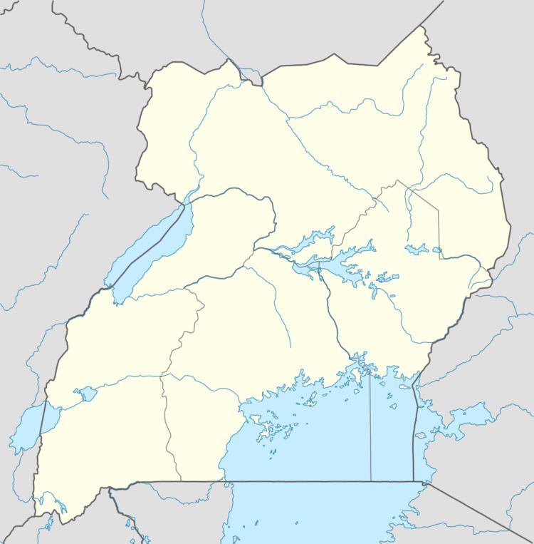
Map of Kasenyi Village, Uganda
Kasenyi landing site
Location
Kasenyi is in Kasese District of the Rwenzururu sub-region. It lies within Queen Elizabeth National Park, the most visited of Uganda's national parks. Kasenyi is approximately 49 kilometres (30 mi), by road, southeast of Kasese, the district headquarters and the largest town in the sub-region. This is on the western shores of Lake George, close to the point where the Kazinga Channel joins the lake.
Overview
Kasenyi is in the northeastern sector of Queen Elizabeth National Park. This sector is also referred to as the Mweya - Kasenyi Sector in contrast to the Ishasha Sector in the southwestern part of the park. The area around Kasenyi is open savannah, where Uganda Kob are the dominant mammals. Lions are frequently seen here on game drives.
Points of interest
The following additional points of interest lie inside or near Kasenyi: