
Time zone EET (UTC+2) Vehicle registration KZ Municipal unit Agia Paraskevi | Elevation 710 m (2,330 ft) Postal code 502 00 Area code 24630 Administrative region Western Macedonia | |
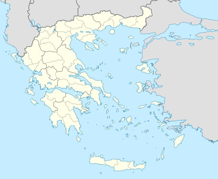 | ||
Karyochori (Greek: Καρυοχώρι meaning walnut village, before 1927: Κοζλούκιοϊ - Kozloukioi) is a village in the municipal unit of Agia Paraskevi in the Kozani regional unit, northern Greece. Karyochori is built in a valley at the elevation of 710 m above sea level. It is located 2 km southeast of Agios Christoforos, 8 km east of Ptolemaida and 22 km north of Kozani. There are large open-pit lignite mines to the south and west of Karyochori, and farmlands to the north.
Map of Karyochori 502 00, Greece
References
Karyochori Wikipedia(Text) CC BY-SA