
Telephone code 0484 Area 21.05 km² Area code 0484 | Time zone IST (UTC+5:30) Vehicle registration KL-42 Literacy 89.2% | |
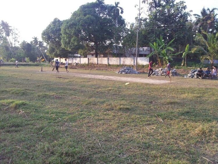 | ||
Fishing technique in karumalloor
Karumallur(Malayalam: കരുമാല്ലൂർ) is a village in Paravur Taluk, Ernakulam district in the Indian state of Kerala. Karumalloor (Karumalore) is a panchayat in Ernakulam District. Karumalloor is situated in the highway connecting North Paravur with Aluva. This road is a nationalized route of KSRTC and plenty of buses connecting North Paravur with eastern parts of Ernakulam District are running. It is situated 6 km from Paravur. The village consists of large tracts of paddy fields. Karumallur is bounded by distributaries of the river Periyar. The panchayat is mainly a rice-based agrarian economy.
Contents
- Fishing technique in karumalloor
- Map of Karumalloor Kerala
- History
- Demographics
- Educational Organizations
- Localities
- Roads
- Ferrys
- Places of worship
- References
Map of Karumalloor, Kerala
History
Karumallur was under Ayirur village union . The panchayat was formed in 1953. The village was famous for agricultural tools and even people from north come to buy these products.
Demographics
As of 2001 India census, Karumalloor had a population of 26858 with 13189 males and 13669 females.
Educational Organizations
Localities
U.C College, Veliyathunad, Parana, Aduvathuruth, Karumallur, Mattupuram, Manjaly, Kallikuzhy, Manakkapady, Thattampady, Millupadi, Kaduvappadam, Mariyapady,Paruvakkad, Vayalodam, Chettikkad, Thekkethazham, Karukunnu