Population Uninhabited | ||
 | ||
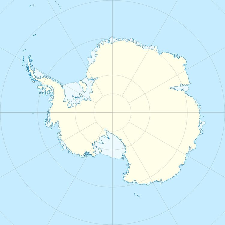
Kartografov Island is a small coastal island lying in the western part of the mouth of Harald Bay, Oates Land, Antarctica. It was photographed by U.S. Navy Operation Highjump (1946–47), the Soviet Antarctic Expedition (1957–58) and the Australian National Antarctic Research Expedition (1959). The island was named "Ostrov Kartografov" (Cartographers' Island) by the Soviet expedition.
Map of Kartografov Island, Antarctica
References
Kartografov Island Wikipedia(Text) CC BY-SA
