
ISO 3166 code SE Province Blekinge | Time zone CET (UTC+1) Municipal code 1080 | |
 | ||
Points of interest Marinmuseum, Hoglands park, Wämöparken, Rosenbom, Blekinge museum | ||
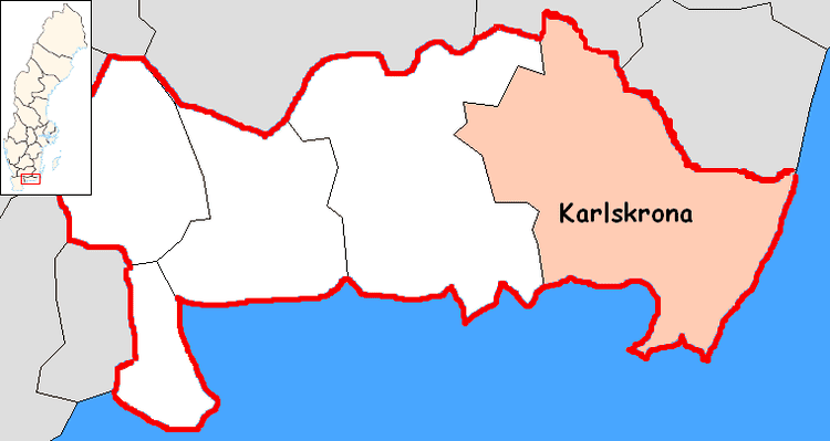
Karlskrona Municipality (Karlskrona kommun) is a municipality in Blekinge County, southern Sweden. It borders to Emmaboda Municipality, Torsås Municipality and Ronneby Municipality. The city of Karlskrona is the seat of the municipality.
Contents
Map of Karlskrona, Sweden
Like most Swedish municipalities it was created during the municipal reform in the early seventies, combining several earlier local government units of urban and rural type, among them the City of Karlskrona.
Localities
There are 18 urban areas (also called a Tätort or locality) in Karlskrona Municipality.
In the table the localities are listed according to the size of the population as of December 31, 2005. The municipal seat is in bold characters.
Parishes
Parishes ordered by city and hundreds:
- Karlskrona
- Karlskrona City Parish
- Royal Karlskrona Admiralty Parish
- Eastern Hundred
- Augerum Parish
- Flymen Parish
- Jämjö Parish
- Kristianopel Parish
- Lösen Parish
- Ramdala Parish
- Rödeby Parish
- Sturkö Parish
- Torhamn Parish
- Virserum Parish
- Medelstad Hundred
- Aspö Parish
- Fridlevstad Parish
- Hasslö Parish
- Nättraby Parish
- Sillhövda Parish
- Tving Parish
- Hästö
Twin towns - sister cities
The municipality is twinned with
References
Karlskrona Municipality Wikipedia(Text) CC BY-SA