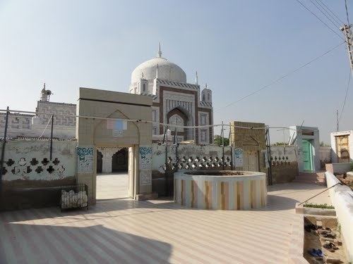
Kalpana Kalpana (Editor)

Kario Ghanwer

Updated on
Edit
Like
Comment
Share on FacebookTweet on TwitterShare on LinkedInShare on Reddit
Kario Ghanwer httpsmw2googlecommwpanoramiophotosmedium

Kario Ghanwer (Urdu: کڑيو گہنور‎ ) ( Sindhi: ڪڙيو ڱهنور‎ ) is a town in Badin District in the Sindh province of Pakistan.

Contents

Map of Kario Ghanwar, Pakistan

The town's coordinates are: 24°48'18"N 68°36'17"E (Latitude: 24.82000, Longitude: 68.60000)

Kario Ghanwer is famous for its agriculture. The main crops of the town are rice, cotton, sunflowers and sugarcane.

Other towns near Kario Ghanwar

These are the closest towns with coordinates to this town.

  • Talhar (14.0 miles / 22.6 km E/NE)
  • Mātli (16.2 miles / 26.0 km N)
  • Bulri (17.3 miles / 27.8 km W/NW)
  • Badīn (18.7 miles / 30.0 km SE)
  • Rajo Khanani (19.2 miles / 30.8 km NE)
  • Tando Muhammad Khan (21.2 miles / 34.1 km N/NW)
  • Mirpur Bathoro (22.8 miles / 36.7 km W/SW)
  • Tando Bagho (23.2 miles / 37.4 km E)
  • Daro (26.5 miles / 42.6 km W)
  • Tando Ghulām Ali (27.1 miles / 43.7 km NE)
  • References

    Kario Ghanwer Wikipedia