
Elevation 164 m (538 ft) Area code(s) (+229) 95 Local time Friday 1:36 PM | Time zone WAT (UTC+1) Area 6,102 km² | |
 | ||
Weather 38°C, Wind E at 18 km/h, 6% Humidity | ||
Karimama is a town, arrondissement and commune in the Alibori Department of northeastern Benin. The commune covers an area of 6102 square kilometres and as of 2013 had a population of 66,675 people.The town lies on the border with Niger.
Contents
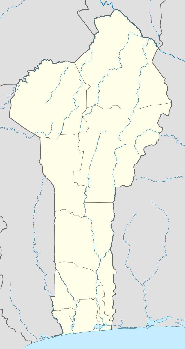
Map of Karimama, Benin
Geography
The commune of Karimana is located 778 kilometres from Cotonou and lies on the Niger River. Communally it is bounded to the north and east by Niger, south by Malanville and to the west by Banikoara.
Administrative divisions
Karimana is subdivided into 5 arrondissements; Karimama, Birni-Lafia, Bogo-Bogo, Kompa and Monsey. They contain 16 villages and 2 urban districts.
Economy
Most of the population are engaged in agricultural activities followed by trade, transportation and handicrafts. The main crops grown are maize, cotton, sorghum, cowpeas, peanut, okra, cassava, onion, potatoes and rice.