
Time zone EET (UTC+2) Website www.karijoki.fi Region Southern Ostrobothnia | Municipal tax rate 20% Local time Friday 2:09 PM | |
 | ||
Area rank 267th largest in Finland Weather 2°C, Wind W at 10 km/h, 91% Humidity | ||
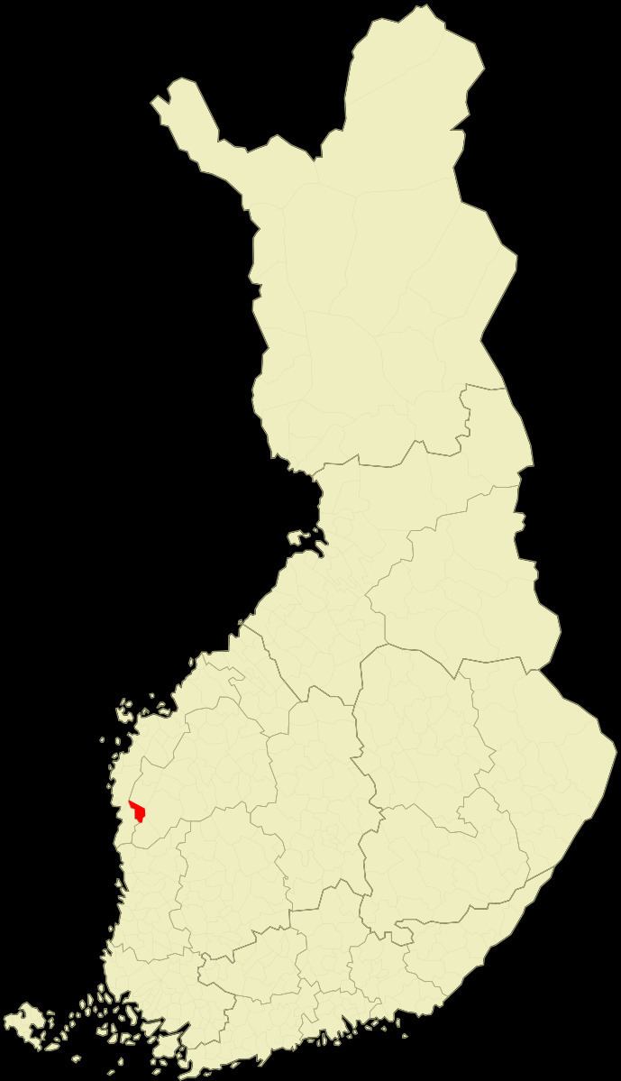
Karijoki (Swedish: Bötom) is a municipality of Finland.
Contents
Map of 64350 Karijoki, Finland
It is located in the province of Western Finland and is part of the Southern Ostrobothnia region. The population of Karijoki is 1,363 (March 31, 2016) and the municipality covers an area of 185.77 km2 (71.73 sq mi) of which 0.78 km2 (0.30 sq mi) is inland water (January 1, 2016). The population density is 7.34/km2 (19.0/sq mi).
The municipality is unilingually Finnish.
A neanderthal cave, the Wolf cave, was found in the Pyhävuori mountains in Karijoki in 1997.
Villages
Alakylä, Karijoen kirkonkylä, Myrkky and Ylikylä.
Notable individuals
References
Karijoki Wikipedia(Text) CC BY-SA