PIN 205264 Elevation 159 m Area code 05677 | Time zone IST (UTC+5:30) Telephone code 05677 Population 24,529 (2001) Local time Friday 5:21 PM | |
 | ||
Weather 22°C, Wind SE at 11 km/h, 64% Humidity | ||
Karhal is a town and a nagar panchayat in Mainpuri district in the Indian state of Uttar Pradesh. It is a Tehsil in Mainpuri District which belongs to Agra division. It is one of the five Vidhan Sabha (legislative assembly) segments of Mainpuri Lok Sabha constituency. Karhal is surrounded by Saifai, Jaswantnagar Tehsils towards South and Mainpuri Tehsil towards North. Sirsaganj, Etawah, Shikohabad and Bharthana are the nearby cities to Karhal.
Contents
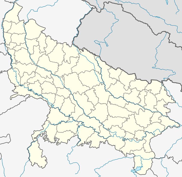
Map of Karhal, Uttar Pradesh 205264
Village Milik ,Post Shukurullapur (Kheria) is located at Karhal to Sirsaganj road near Mohabbatpur . Milik is located at 12 km from Karhal and 13 km from Sirsaganj.Milik is located 4 km from NH-2 ( Kathphori) near Tirkara Daulatpur.Milik is surrounded by Tirkara Daulatpur , Mohabbatpur , Nagla Jore , Nagla Sahab , Nagla Budhua and Semari.
Karhal is located at 27.03°N 78.94°E / 27.03; 78.94. It has an average elevation of 159 metres (521 feet).
Demographics
As of 2001 India census Karhal had a population of 24,529. Males constitute 52% of the population and females 48%. Karhal has an average literacy rate of 55%, lower than the national average of 59.5%: male literacy is 61%, and female literacy is 49%. In Karhal, 18% of the population is under 6 years of age.
