
District Ahmadnagar Time zone IST (UTC+5:30) Area 77,689 km² | Founded by forefather of Ghule's PIN 414303 Area code 02488 ISO 3166 code ISO 3166-2:IN | |
 | ||
Nearest cities Kanhur Pathar, Takali Dhokeshwar | ||
Bhima karegaon
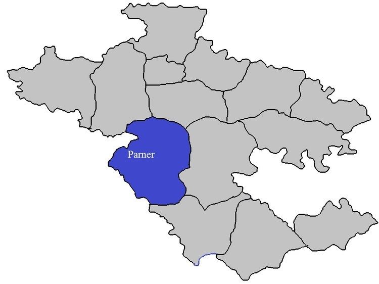
Karegaonis a village in Parner taluka in Ahmednagar district of state of Maharashtra, India.
Contents
Map of Karegaon, Maharashtra 414102
Karegaon
Religion
Economy
References
Karegaon Wikipedia(Text) CC BY-SA