Time zone EET (UTC+2) Population 759 (2012) | Elevation 500 m (1,640 ft) Postal code 33350 Area code 0324 | |
 | ||
Karayakup is a village in Mersin Province, Turkey.
Contents
Map of Karayakup Mahallesi, 33730 Erdemli%2FMersin Province, Turkey
Geography
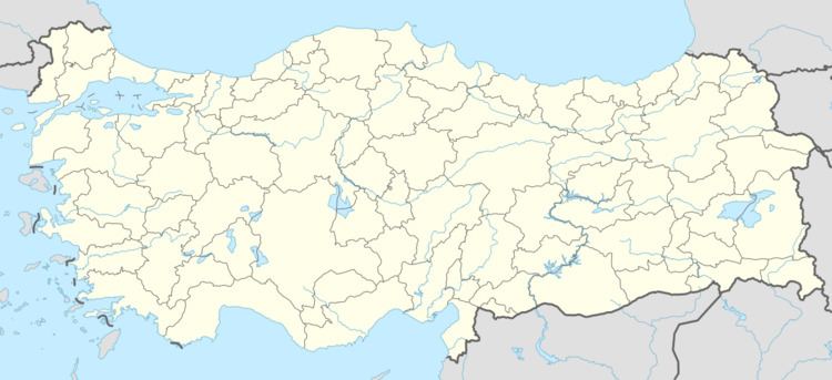
Karayakup is a village in Erdemli district of Mersin Province. The village is situated in the peneplane area to the north of Çukurova (Cilicia) plains at 36°46′N 34°22′E. The distance to Erdemli is 23 kilometres (14 mi) and the distance to Mersin is 60 kilometres (37 mi). The population of the village was 759 as of 2012.
History
The area around the village was inhabited dıuring the ancient and medieval ages. There are two castle ruins to the south of the village namely; Gökçam and Fanazlık. But the village was founded four centuries ago by a Turkmen clan from Karaman. The village was named after the leader of the clan. During the Turkish War of Independence in 1920s, almost all village men were enlisted and a woman named Elif was appointed as the muhtar (village head) of the village to be the first example of female muhtar around. In 1989 a neighbourhood of the village named Sinap was isuued from Karayakup.
Economy
Main economic activity is farming. Various vegetables and fruits are produced. Tomato, cucumber, olive and grapes are among the main crops. Sheep breeding and beehiving are other activities.
