
 | ||
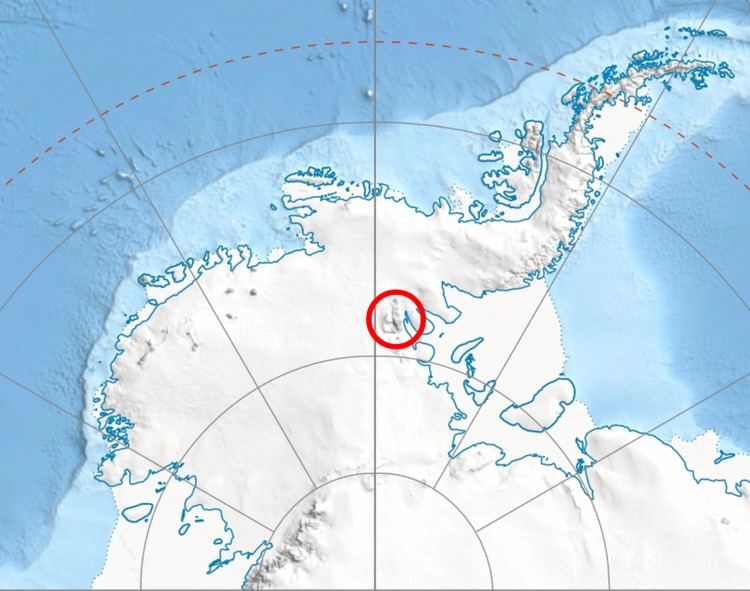
Karasura Glacier (Bulgarian: ледник Карасура, ‘Lednik Karasura’ \'led-nik ka-ra-'su-ra) is the 7.2 km long and 2.7 km wide glacier on the northeast side of Bastien Range in Ellsworth Mountains, Antarctica. It drains the north slopes of Bergison Peak and the east slopes of Patmos Peak, flows northwards, leaves the range and enters the southeast flowing Nimitz Glacier.
Contents
Map of Karasura Glacier, Antarctica
The glacier is named after the ancient Roman and medieval settlement of Karasura in Southern Bulgaria.
Location
Karasura Glacier is centred at 78°48′42″S 85°47′50″W. US mapping in 1961 and 1988.
Maps
References
Karasura Glacier Wikipedia(Text) CC BY-SA