
Time zone EET (UTC+2) Population 355 (2012) | Elevation 750 m (2,460 ft) Postal code 33400 Area code 0324 | |
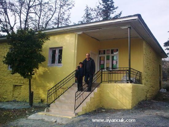 | ||
Karakütük is a village in Tarsus district of Mersin Province, Turkey. At 37°10′N 34°51′E It is in the Toros Mountains and to the west of Turkish state highway . It is 35 kilometres (22 mi) to Tarsus and 60 kilometres (37 mi) to Mersin. The population of village was 355 as of 2012. Main economic activity of the village is agriculture.
Map of Karak%C3%BCt%C3%BCk, Karak%C3%BCt%C3%BCk Mahallesi, 33400 Tarsus%2FMersin Province, Turkey
References
Karakütük, Tarsus Wikipedia(Text) CC BY-SA