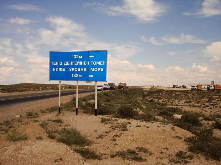
Floor elevation -132 m Width 10 km | Long-axis length 40 km | |
 | ||
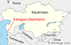
Location Mangyshlak plateauKazakhstan | ||
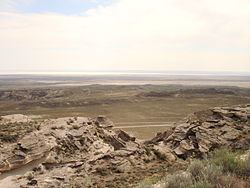
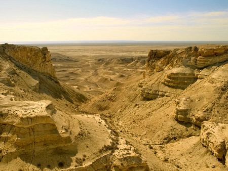
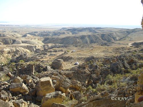
Karagiye (Kazakh: Қарақия ойпаты, Karagiye means Black Jaw in Turkic) is a 40 kilometres (25 mi) long karst trench close to the Caspian Sea. At approximately 132 metres (433 ft) below sea level it is the lowest point both in Kazakhstan and the former USSR. It is also known as the "Karagiye Depression" and "Karagiye Mountain Trench".
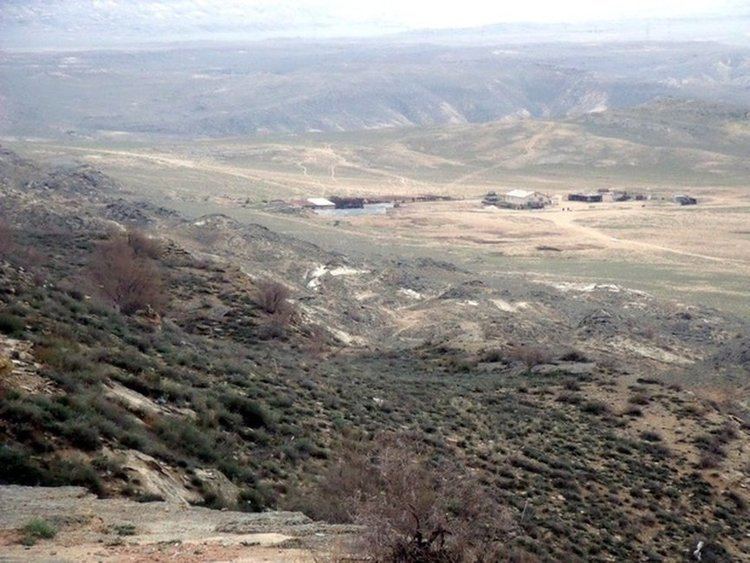
The trench was formed as soluble limestone, dolomite and gypsum dissolved forming potholes, funnels and caves that eventually collapsed. Today the trench features many scarps and offsets and generates long rain clouds caused by the air rising above it. There is a vernal lake in the south-west of the trench and a stream rising from a drilled well that disappears back into the ground within the trench.
The trench is inhabited by mouflon, corsac, snakes, hares and vultures. It is the only place within the Mangyshlak plateau that mushrooms grow and these are collected by locals.