
Time zone EET (UTC+2) Licence plate 59 | Elevation 150 m (490 ft) Postal code 59050 Area code 0282 | |
 | ||
District Tekirdağ central district | ||
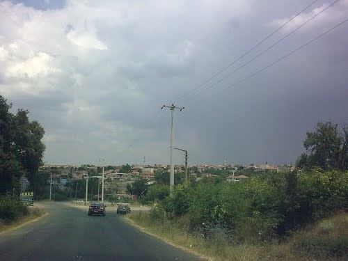
Karacakılavuz is a town in the central district (Tekirdağ) of Tekirdağ Province, Turkey. It is situated at 41°08′N 27°21′E to the northwest of the artificial pond named after the town. The distance to Tekirdağ is 32 kilometres (20 mi). The population of Karacakılavuz is 3204 as of 2011. According to a popular legend the settlement was named after a roe deer (Turkish: karaca) which acted as a guide (Turkish: kılavuz) to the pursuing hunters and directed them to the location of the settlement. However, former name of the settlement during the Ottoman Empire was Karacakuloğuz ( Dark servant Oğuz) which diminishes the plausibility of the legend. The oldest tombstones in the graveyard of the settlement are dated 1730. In 1884-1885, Turks from Sevlievo (which had recently fallen under Bulgaria) were settled in the settlement. In 1971 the settlement was declared a seat of township. The town economy depends on agriculture. Main crops are wheat, sun flower, canola and fodder.