District Çanakçı Postal code 28815 Elevation 309 m Area code 0454 | Time zone EET (UTC+2) Licence plate 28 Population 1,031 (2013) | |
 | ||
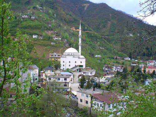
Karabörk is a belde (town) in Çanakçı district of Giresun Province, Turkey. The town is situated in the valley of Çanakçı creek at 40°53′N 39°02′E. The town is in the middle of dense forestry of the Black Sea Region. The distance to Çanakçı is 17 kilometres (11 mi) and to Giresun is 85 kilometres (53 mi). The population of Karabörk was 1031. as of 2013. In Karabörk the Otttoman rule began by 1461 during the reign of Mehmet II (the conqueror). According to 1515 Ottoman records, it was a small settlement population of which was composed of Turks and Greeks. In the early 1700s, Turks of Çepni tribe also settled in the settlement. Ottomans mined copper in the Kırtlak mine close to Karabörk. In the early 20th century, Greek population left the settlement and during the First World War, the town suffered a brief occupation of the Russian army. In 1992 the settlement was declared a seat of township.
