
Area 139.9 km² Established 2002 | Managing authorities Phone +61 13 19 63 | |
 | ||
Website Kara Kara National Park Hours Open today · Open 24 hoursFridayOpen 24 hoursSaturdayOpen 24 hoursSundayOpen 24 hoursMonday(Labour Day)Open 24 hoursHours might differTuesdayOpen 24 hoursWednesdayOpen 24 hoursThursdayOpen 24 hours | ||
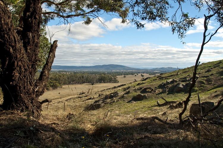
The Kara Kara National Park is a national park located in the Wimmera/Goldfields region of Victoria, Australia. The 13,990-hectare (34,600-acre) national park is situated approximately 190 kilometres (120 mi) north-west of Melbourne, west of the Sunraysia Highway, and to the south of the town of St Arnaud.
FeaturesEdit
Kara Kara National Park protects one of the most intact remnants of Victoria's box-ironbark forests. Parts of the park are relatively unmodified in comparison to other areas of forest in the central goldfields and are a fine example of the type of vegetation that once covered almost 13% of Victoria. The park is of importance to the Dja Dja Wurrung people.
Most of the park lies within the Northern Grampians Shire and the southern part of the park is within the Pyrenees Shire. The national park was proclaimed on 30 October 2002 (2002-10-30) as the St Arnaud Range National Park and it incorporated the former Kara Kara State Park and most of the St Arnaud Range State Forest. Following release of a draft park management plan in April 2009 and subsequent consultations in accordance with the Geographic Places Names Act, 1998 (Vic) and Guidelines for Geographic Names (2010), the park was renamed as the Kara Kara National Park.
The park lies within the St Arnaud Box-Ironbark Region Important Bird Area, identified as such by BirdLife International because of its importance for swift parrots and other woodland birds.