
Area 20.31 km² | Local time Friday 6:01 AM | |
 | ||
Weather 2°C, Wind N at 3 km/h, 93% Humidity | ||
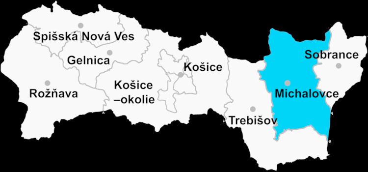
Kapušianske Kľačany (Hungarian: Nyarádkelecsény) is a village and municipality in Michalovce District in the Kosice Region of eastern Slovakia. It was created in 1943 by merging the villages Kľačiany, Močiar and Ňarád, all first recorded in 1315. The current name Kapušianske Kľačany originated in 1948.
Contents
- Map of 079 01 KapuC5A1ianske KC4BEaC48Dany Slovakia
- History
- Geography
- Ethnicity
- Government
- Culture
- Sports
- Transport
- References
Map of 079 01 Kapu%C5%A1ianske K%C4%BEa%C4%8Dany, Slovakia
History
In historical records the village was first mentioned in 1315.
Geography
The village lies at an altitude of 106 metres and covers an area of 20.310 km². It has a population of about 830 people.
Ethnicity
The population is 75% Magyar, 18% Romani and 7% Slovak in ethnicity.
Government
The village relies on the services of Veľké Kapušany
Culture
The village has a public library and a food store.
Sports
The village has a football pitch
Transport
The nearest railway station is four kilometres away at Veľké Kapušany