
County Kapoeta South County Time zone EAT (UTC+3) Local time Friday 6:59 AM | Town 19 August 2013 Elevation 677 m Number of airports 1 | |
 | ||
Weather 27°C, Wind S at 8 km/h, 45% Humidity | ||
Kapoeta is a town in South Sudan. It is located in Kapoeta South County, in Namorunyang State, in southeastern South Sudan.
Contents
Map of Kapoeta, South Sudan
Location
The town lies on the east bank of the Singaita River. The post at Kapoeta was established by Captain Knollys, who reached the river in January 1927. This location lies approximately 275 kilometres (171 mi), by road, east of Juba, the capital of South Sudan, and the largest city in that country. The town sits at an elevation of 677 metres (2,221 ft) above sea level.
History
Kapoeta was upgraded to Town status administered by a town clerk on August 19, 2013.
Transport
The main road from Lokichogio, Kenya to the capital city of Juba, South Sudan, runs through Kapoeta. The town is also served by Kapoeta Airport, which in 2011, was little more than a dirt strip.
Population
As of August 2008, the population of Kapoeta was estimated at about 7,000.
Culture
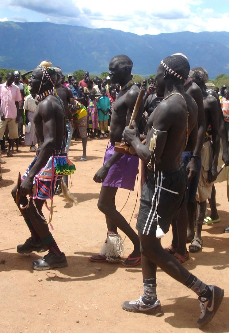
Kapoeta town sits in a land dominated by the Toposa ethnic group. The Didinga also live in the area, but they are farmers and tend to inhabit the fertile, wetter hills, whereas the cattle-centric Toposa people dominate the plains.
Points of interest
The following points of interest are found in or near Kapoeta: