State Kingdom of Denmark Time zone UTC-03 Population 63 (2016) | Local time Friday 12:40 AM | |
 | ||
Weather -8°C, Wind E at 8 km/h, 58% Humidity | ||
Kapisillit is a settlement in the Sermersooq municipality in southwestern Greenland. In 2010, the settlement had 86 inhabitants. Kapisillit means the salmon in the Greenlandic language. The name refers to the belief that the only spawning-ground for salmon in Greenland is a river near the settlement.
Contents
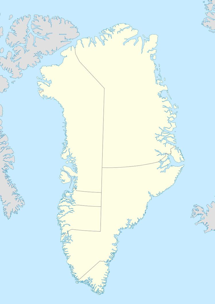
Map of Kapisillit, Greenland
Geography
Kapisillit is located 75 km (47 mi) northeast of Nuuk, near the head of Kapisillit Kangerluaq, one of the tributary fjords of the 160 km (99.4 mi) long, Nuup Kangerlua, the longest fjord on the Labrador Sea coast of Greenland, and one of the longest in the inhabited part of the country.
Economy
The inhabitants mostly subsist on hunting, fishing and tourism. The settlement has its own school, church, and grocery store.
Transport
Transport to Kapisillit is done by boat. Helicopter is sometimes used. There is no road from outside to Kapisillit, although there are plans to build a simple road from Nuuk to Kapisillit.
Population
The population of Kapisillit has declined by nearly a third relative to the 2000 levels, levelling off since.
