
Country Thailand Time zone THA (UTC+7) Geocode 9411 Population 15,782 (2005) | Seat Karubi Postal code 94230 Area 93.81 km² Province Pattani Province | |
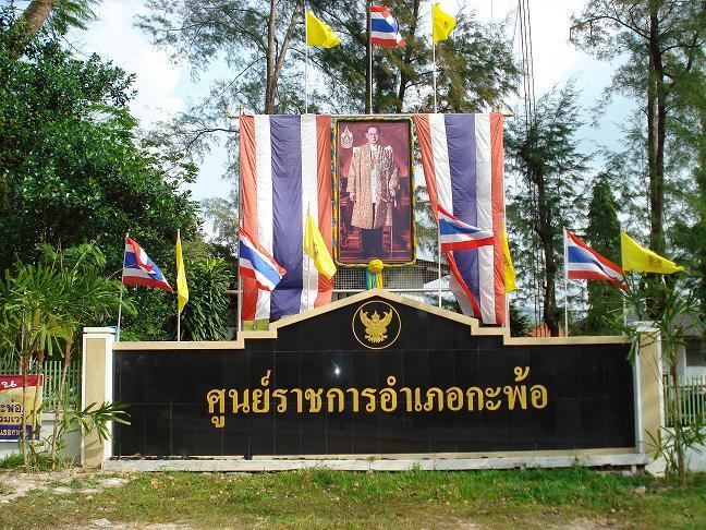 | ||
Kapho (Thai: กะพ้อ) is a district (Amphoe) in Pattani Province, southern Thailand.
Contents
Map of Kapho District, Pattani, Thailand
History
The minor district (king amphoe) Kapho was formed on March 15, 1982 by splitting the three southern tambon from Sai Buri district. On November 4, 1993 it was upgraded to a full district.
Geography
Neighboring districts are (from the northwest clockwise) Thung Yang Daeng and Sai Buri of Pattani Province, Bacho of Narathiwat Province, and Raman of Yala Province.
Administration
The district is subdivided into 3 subdistricts (tambon), which are further subdivided into 22 villages (muban). There are no municipal (thesaban) areas, and 3 Tambon administrative organizations (TAO).
References
Kapho District Wikipedia(Text) CC BY-SA