
Sub-region Sebei sub-region Elevation 1,860 m | Local time Friday 6:19 AM | |
 | ||
Weather 17°C, Wind SE at 6 km/h, 66% Humidity | ||
Kapchorwa is a town in the Eastern Region of Uganda. It is the main municipal, commercial, and administrative center of Kapchorwa District.
Contents
- Map of Kapchorwa Uganda
- Ruto campaigns for museveni in kapchorwa
- Location
- Demographics
- Points of interest
- References
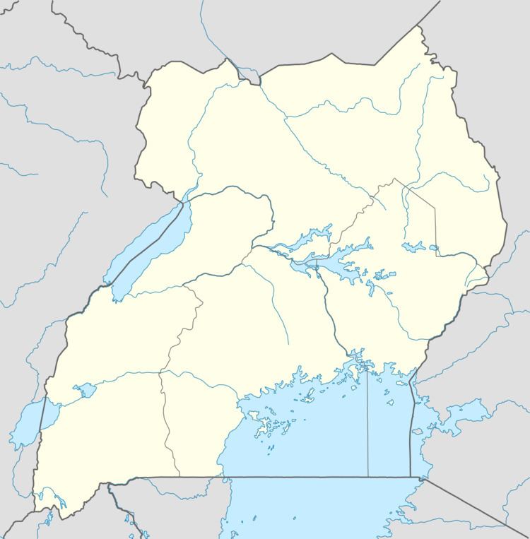
Map of Kapchorwa, Uganda
Ruto campaigns for museveni in kapchorwa
Location
The town of Kapchorwa is located in the Sebei sub-region, approximately 65 kilometres (40 mi), by road, northeast of Mbale, the largest city in the Eastern Region. This is approximately 310 kilometres (190 mi), by road, northeast of Kampala, Uganda's capital and largest city. The coordinates of the town are 1°24'00.0"N 34°27'00.0"E (Latitude:1.4000; Longitude:34.4500).
Demographics
During the 2002 national population census, Kapchorwa's population was estimated at 8,700. In 2010, the Uganda Bureau of Statistics (UBOS) estimated the population at 12,300. In 2011, UBOS estimated the mid-year population at 12,900.
Points of interest
The following points of interest lie within the town limits or close to the edges of the town: