
Time zone EET (UTC+2) Vehicle registration Z Local time Friday 5:12 AM | Elevation 356 m (1,168 ft) Postal code 190 14 Website www.kapandriti.gr Area code 22950 | |
 | ||
Weather 8°C, Wind NW at 5 km/h, 93% Humidity | ||
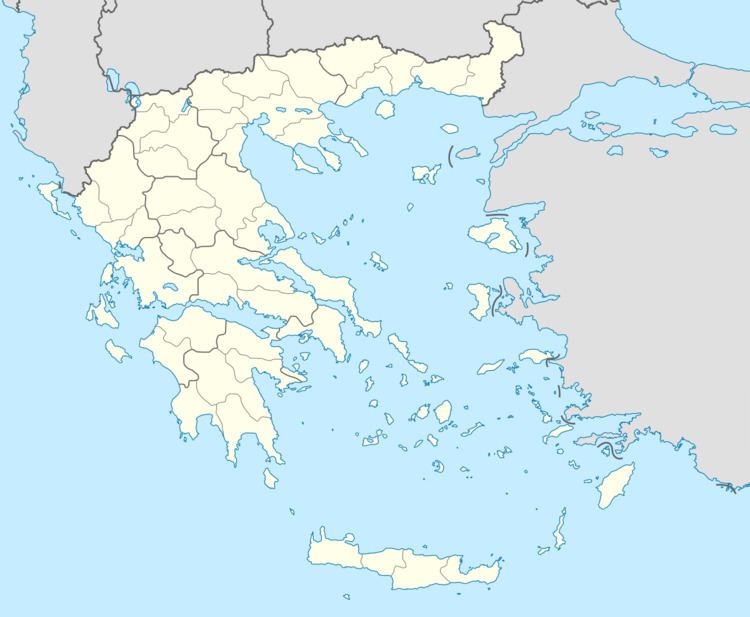
Kapandriti (Greek: Καπανδρίτι) is a town in the north of East Attica in Greece. Since the 2011 local government reform it is part of the municipality Oropos, of which it is a municipal unit. The municipal unit has an area of 36.789 km2.
Map of Kapandriti 190 14, Greece
Kapandriti is situated east of the Parnitha mountains and north of the Marathon Reservoir. It is 10 km northwest of Marathon and 29 km northeast of Athens. Motorway 1 (Athens - Thessaloniki) passes west of the town. Besides the main town, the community Kapandriti also contains the villages Mikrochori (pop. 578) and Agioi Anargyroi (276).
References
Kapandriti Wikipedia(Text) CC BY-SA