Phone number 0289-64-2111 Population 98,883 (May 2015) | Region Kantō Area 490.6 km² Local time Friday 11:05 AM | |
 | ||
Weather 10°C, Wind W at 14 km/h, 52% Humidity Points of interest Furumine Shrine, Shiroyama Park, Kanumashi Nishimorokinrin Park | ||
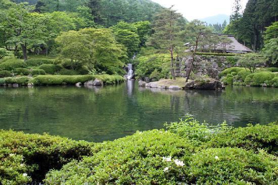
Kurokawa river sunset kanuma tochigi
Kanuma (鹿沼市, Kanuma-shi) is a city located in Tochigi Prefecture, in the northern Kantō region of Japan. As of May 2015, the city had an estimated population of 98,883 and a population density of 202 persons per km². Its total area was 490.64 km2 (189.44 sq mi).
Contents
- Kurokawa river sunset kanuma tochigi
- Map of Kanuma Tochigi Prefecture Japan
- Geography
- Surrounding municipalities
- History
- Education
- Railway
- Highway
- Noted people
- References
Map of Kanuma, Tochigi Prefecture, Japan
Geography
Kanuma is located in central Tochigi Prefecture.
Surrounding municipalities
History
Kanuma was the castle town for a 25,000 koku feudal domain in the early Edo period. Even after the domain was suppressed by the Tokugawa shogunate, the area continued to prosper from its location with a number of post stations on the Nikkō Reiheishi Kaidō.
The modern city was founded on October 10, 1948. On January 1, 2006, the town of Awano (from Kamitsuga District) was merged into Kanuma.
Education
Kanuma has 28 primary schools, ten middle schools and five high schools.
