Vehicle registration MP Population 9,240 (2001) | Time zone IST (UTC+5:30) Local time Friday 7:10 AM ISO 3166 code ISO 3166-2:IN | |
 | ||
Weather 20°C, Wind SW at 3 km/h, 58% Humidity | ||
Kantaphod is a town and a nagar panchayat in Dewas district in the Indian state of Madhya Pradesh.
Contents
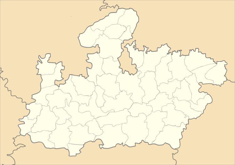
Map of Kantaphod, Madhya Pradesh 455440
Demographics
As of 2001 India census, Kantaphod had a population of 9240. Males constitute 52% of the population and females 48%. Kantaphod has an average literacy rate of 52%, lower than the national average of 59.5%: male literacy is 63%, and female literacy is 41%. In Kantaphod, 18% of the population is under 6 years of age.Located on the foot of malwa plateau.on the bank of chandrakeshar river .
The main occupation of the people being agriculture cotton & soyabean are the major kharif crops .2 km from the village there is a dam on chandrakeshar river. which is a major source of irrigation in the rabi season.Few nos of ginning factories are situated in the region.
