
Country Thailand Time zone ICT (UTC+7) Geocode 9202 Population 86,325 (2012) | Seat Kantang Postal code 92110 Area 612.7 km² Province Trang Province | |
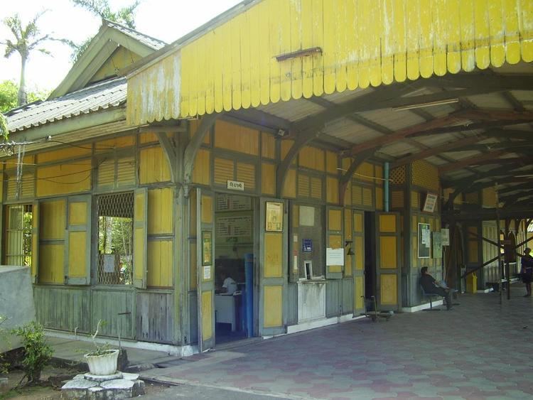 | ||
Kantang (Thai: กันตัง) is a district (amphoe) in the western part of Trang Province, Thailand.
Contents
Map of Kantang District, Trang, Thailand
History
Kantang (Malay: Gantang) was the original capital of Trang Province, at first in Khuan Thani, and then from 1893-1916 coastal Kantang itself. As the area was prone to flooding, the capital was finally moved inland to its present location. The city pillar shrine (lak mueang) of Trang is still at its original location at Khuan Thani.
Geography
Neighboring districts are (from the north clockwise) Sikao, Mueang Trang, and Yan Ta Khao of Trang Province. To the southwest is the Andaman Sea. The district is at the mouth of the Trang River.
Administration
The district is divided into 14 sub-districts (tambon), which are further subdivided into 83 villages (muban). The town (thesaban mueang) Kantang covers the whole tambon Kantang. There are 13 tambon administrative organizations (TAO) in the district.
Economy
The Kantang District's chief industry is fishing. The industry is highly concentrated in few hands and has recently come under fire by international organisations for human trafficking, over-fishing, abuse of human rights, and outright murder.