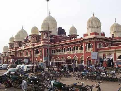
Country India Headquarters Kanpur Nagar Website Official website Lok sabha constituency Kanpur Major highway National Highway 2 | State Uttar Pradesh Major highways NH 2 Literacy 70.8% Administrative division Kanpur division | |
 | ||
Tehsils Kanpur Sadar,Bilhaur,Ghatampur Points of interest Allen Forest Zoo, Phool Bagh, Moti Jheel, JK Temple, Blue World Theme Park Colleges and Universities Chhatrapati Shahu Ji Maharaj, Indian Institute of Technolo, Harcourt Butler Technical, Pranveer Singh Institute o, Kanpur Institute of Technology | ||
Kanpur district (Kanpur Nagar district) is one of the districts of the Uttar Pradesh state of India. It is a part of Kanpur division and its district headquarters is Kanpur.The old name of kanpur was Kanakpur in age of Ramayana. Due to increase in population of Kanpur District, for proper administration it has been divided into two. The term Kanpur refers to the combination of Kanpur Nagar district and Kanpur Dehat district. This article explains Kanpur Nagar district.
Contents
Map of Kanpur Nagar, Uttar Pradesh
Kanpur district was divided into two district namely Kanpur-nagar and Kanpur-Dehat in year 1977. Reunited again in year 1979. Again separated in year 1981.
Notable Poets
Demographics
According to the 2011 census Kanpur district has a population of 6,377,452, roughly equal to the nation of Costa Rica or the US state of Louisiana. This gives it a ranking of 32nd in India (out of a total of 640). The district has a population density of 1,449 inhabitants per square kilometre (3,750/sq mi) . Its population growth rate over the decade 2001-2011 was 9.72%. Kanpur Nagar has a sex ratio of 852 females for every 1000 males, and a literacy rate of 81.31%.
