
Country Burma District Mindat District Time zone MST (UTC+6.30) | Division Chin State Township Kanpetlet Township Local time Friday 6:31 AM | |
 | ||
Weather 12°C, Wind W at 6 km/h, 87% Humidity | ||
Kanpetlet (Burmese: ကန်ပက်လက်မြို့) is a town in the Chin State of West Myanmar and the home of the Kanpetlet Township administration body. It is known for Mt. Victoria, the highest peak in the Chin Hills and one of the highest in Western Myanmar, and Natmataung National Park, home of some of the world's rarest bird species.
Contents
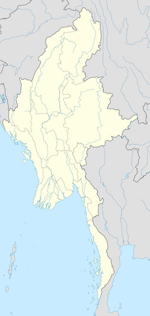
Map of Kanpetlet, Myanmar (Burma)
Under British rule Kanpetlet was one of the two districts in the Chin Hills. However, due to its isolated location and lack of large enough population to support development, it has become one of the least developed townships in Chin State and Myanmar.
Kan Pet Let
Kan Pet Let is the home town of southern Chin tribes of Dai, Yinduu Daa, Upu(Chinpon), and Ng'Ya clans. In fact Yindu and so called Ng'ya people are the same tribe according to traditional a clan descendent and the same clan. It can be found especially in ancient Burmese official literature. It's the famous town of the Chin state for its own beautiful scenery of Myanmar. Around its own border there are Saw, Mindat, Paletwa, Setottayar and Minpyar township.