
 | ||
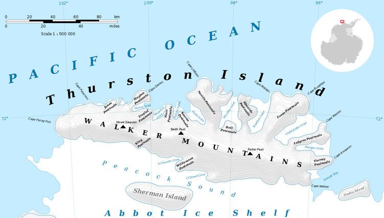
Kannheiser Glacier (72°10′S 101°42′W) is a glacier about 4 nautical miles (7 km) long, lying 12 nautical miles (22 km) east-southeast of Cape Flying Fish on Thurston Island, Antarctica, and flowing south into the Abbot Ice Shelf. It was first delineated from air photos taken by U.S. Navy Operation Highjump in December 1946, and was named by the Advisory Committee on Antarctic Names for Lieutenant Commander William Kannheiser, U.S. Navy, a helicopter pilot aboard the USS Glacier (AGB-4), who explored and photographed new Thurston Island features in February 1960.
Contents
Map of Kannheiser Glacier, Antarctica
Maps
References
Kannheiser Glacier Wikipedia(Text) CC BY-SA