
Postcode(s) 5252 Local time Friday 9:52 AM | Postal code 5252 | |
 | ||
Weather 18°C, Wind S at 8 km/h, 63% Humidity | ||
Kanmantoo is a settlement in South Australia. It is southeast of Adelaide in the eastern Adelaide Hills. It is in the catchment basin of the Bremer River.
Contents
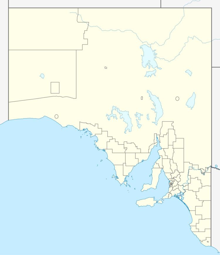
Map of Kanmantoo SA 5252, Australia
Mining
The town is named after the Kanmantoo mine which opened in the 1840s and was owned by the South Australian Company. In turn, the mine had a local Aboriginal name. The site of the old underground mine is now in a much larger opencut copper mine owned by Hillgrove Resources. It is in the Adelaide Geosyncline.
Transport
Kanmantoo is on the Old Princes Highway between Nairne and Callington, but most through traffic now bypasses the town on the South Eastern Freeway. The Adelaide-Wolseley railway line also passes near the mine, but there is no station at Kanmantoo.
References
Kanmantoo, South Australia Wikipedia(Text) CC BY-SA