
3-digit postal code prefix 822 | Time zone WAT (UTC+1) Area 824 km² | |
 | ||
Weather 24°C, Wind NE at 11 km/h, 13% Humidity | ||
Nigeria kankia katsina 20131010
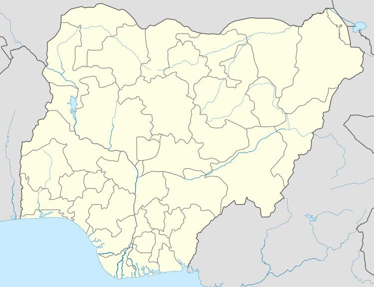
Kankia (or Kankiya) is a Local Government Area in Katsina State, Nigeria. Its headquarters are in the town of Kankia in the north of the area on the A9 highway at12°32′57″N 7°49′31″E.
Contents
It has an area of 824 km² and a population of 151,434 at the 2006 census.
The postal code of the area is 822.
Turbaning of kankian katsina district head of kankia
References
Kankia Wikipedia(Text) CC BY-SA