District Guntur Time zone IST (UTC+5:30) Area 18.64 km² | Elevation 5 m Population 4,313 (2011) | |
 | ||
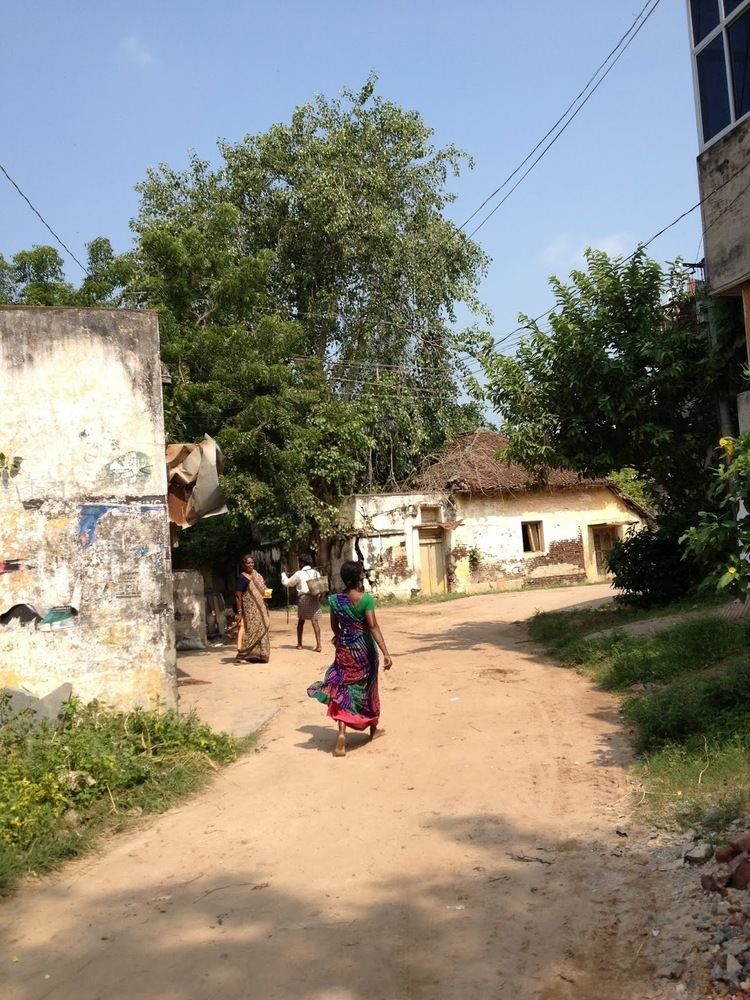
Kankatapalem is a village in the Guntur district of the Indian state of Andhra Pradesh. It is located in Bapatla mandal of Tenali revenue division.
Contents
Map of Kankatapalem, Andhra Pradesh 522317
Government and politics
Kankatapalem gram panchayat is the local self-government of the village. The panchayat has a total of 12 wards and each ward is represented by an elected ward member. The ward members are headed by a sarpanch and the present sarpanch is Chukka Karunasree.
References
Kankatapalem Wikipedia(Text) CC BY-SA
