
 | ||
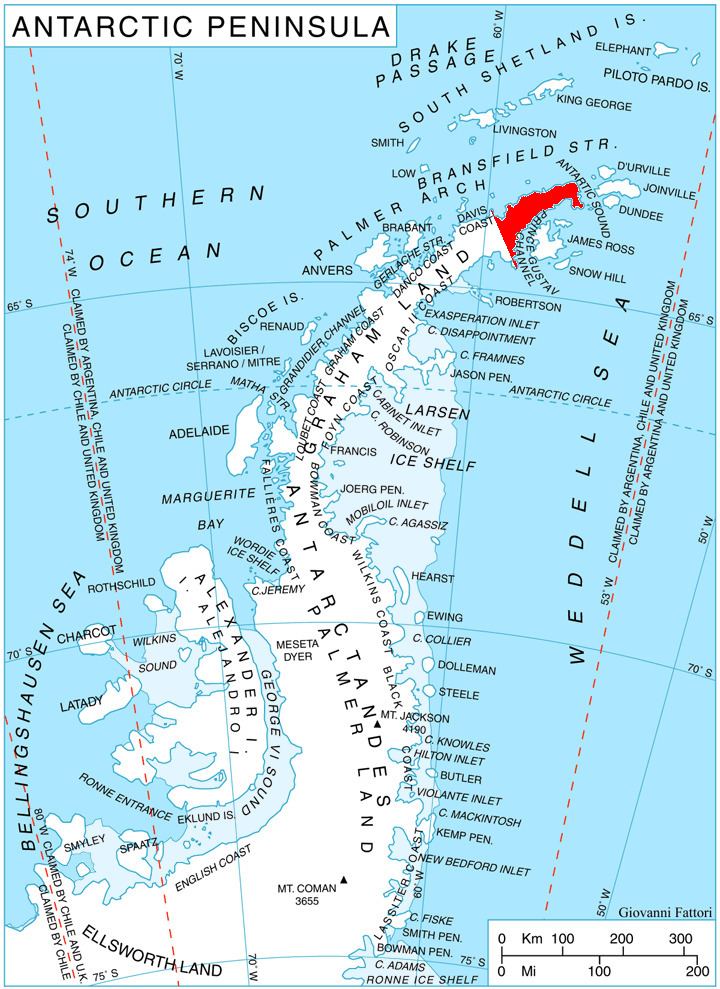
Kanitz Nunatak (Bulgarian: нунатак Каниц, ‘Nunatak Kanitz’ \'nu-na-tak 'ka-nits) is the rocky peak rising to over 600 m in the southern foothills of Laclavère Plateau on Trinity Peninsula, Antarctic Peninsula. Situated 8.43 km south of Ami Boué Peak, 9.81 km east-southeast of Dabnik Peak, 6.15 km north of Cain Nunatak and 9.84 km west by south of Theodolite Hill. Overlooking Broad Valley to the south.
Contents
The peak is named after the settlement of Kanitz in northwestern Bulgaria, in connection with the Austro-Hungarian geographer and ethnographer Felix Kanitz (1829–1904).
Location
Kanitz Nunatak is located at 63°29′33″S 57°46′41″W. German-British mapping in 1996.
Maps
References
Kanitz Nunatak Wikipedia(Text) CC BY-SA